 Map of South Asia with Countries" />
Map of South Asia with Countries is a fully layered, printable, editable vector map file. All maps come in AI, EPS, PDF, PNG and JPG file formats.
Available in the following map bundles
- All Country & World Maps, Globes & Continents Bundle - Standard
- World Maps, Globes & Continents Bundle - Standard
- Don't want to Attribute Free Vector Maps? Buy map for $4.99
- Aren't sure which option is best for you? Learn more
- How do I provide Attribution?
Sponsored Images by iStock - Limited Deal: 15% OFF with 15ISTOCK Coupon
Vector Maps of World
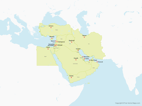
Middle East with Countries WRLD-ME-02-0001
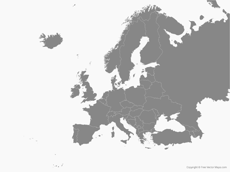
Europe with Countries - Single Color WRLD-EU-01-0002
 North America with the United States and Canada - Multicolor" />
North America with the United States and Canada - Multicolor WRLD-NA-02-0006
 North America with Countries - Blue" />
North America with Countries - Blue WRLD-NA-02-4001
Trending Maps
- 1 Europe with Countries - Single Color
- 2 World - Single Color
- 3 World with Countries - Single Color
- 4 World with Countries - Outline
- 5 United States of America - Flag
- 6 World (PowerPoint)
- 7 World with Countries - Single Color
- 8 World - Single Color
- 9 United States of America with States - Single Color
- 10 Nicaragua - Single Color
Explore Maps
Learn More
Maps
Views
Downloads
- Free USA Maps •
- Vector Flags •
- Unreal Images - Free AI Stock Images •
- AreaCodeLookup.co •
- ZipCodeLookup.co •
- The50UnitedStates.com •
- Free Study Maps •
- HTML Symbols •
- Map Glyphs
- Like on Facebook •
- Follow on Twitter
Vector Flag of South Asia with Countries
Free maps cannot be used on merch or logos and Require Attribution. Please ensure to Attribute Free Vector Maps on your final design, credits or copy. Read FAQs
Explore More Maps

World with Countries - Multicolor WRLD-EPS-02-0008

World - Blue WRLD-EPS-02-4001
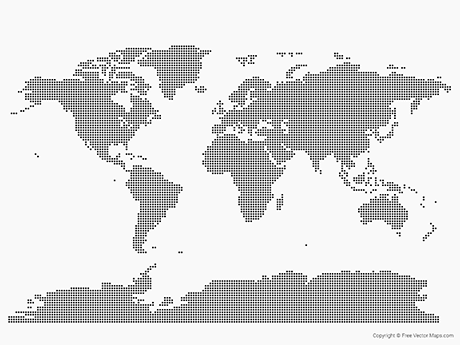
World - Dots WRLD-EPS-02-3001

World with Countries WRLD-EPS-02-0007
Select Your License
- No Attribution Required!
- Use on merch for resale on Cafe Press, Zazzle, and more
- Unlimited runs, use in logos and more Learn more
Free maps cannot be used on merch and Require Attribution. Please ensure to Attribute Free Vector Maps on your final design, credits or copy. Learn more.
How to Provide Attribution
Print
Please add FreeVectorFlags.com in the final copy
Video
Please add FreeVectorFlags.com in the final credits
Web
Copy and paste the below code for attribution:
Merch
Free downloads cannot be re-sold on merch, see FAQs
